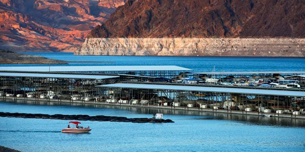
Lake Mead is one of the main reservoirs in the vast Colorado River water system, and its receding shoreline is raising concerns about the future of a network serving the perennially parched Southwest.
Marina operators, water managers and farmers are closely tracking the reservoir’s water level, which is already at its lowest point since Hoover Dam was completed and the lake was first filled in the 1930s.
As federal officials ready to release a new projection for the lake, here are a few milestones to keep in mind and their potential impact:
• 1,080 feet above sea level is Lake Mead’s level this year, down almost the width of a football field from a full-capacity high of 1,225 feet in 1983. The lake is currently at 39 percent capacity.
• At 1,075 feet, water deliveries to Arizona and Nevada would be curtailed; the determination is based on projections made in January.
• At 1,000 feet, two existing Las Vegas drinking water intakes would go dry. The Southern Nevada Water Authority is drilling a so-called “third straw” to draw water from 860 feet.
• At 900 feet, hydroelectric turbine generators at Hoover Dam would be idled by lack of water pressure. Most of the electricity goes to Southern California. Nevada gets about 23 percent, and Arizona gets about 19 percent.


